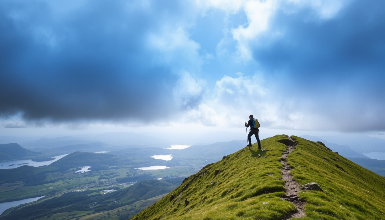
Ben Lomond draws over 30,000 people to its summit each year—many of them tackling their first Munro—and while you don’t need ropes or technical experience, you do need a plan. This guide covers the route, timing, gear, and safety so you can enjoy the hike and get back down smiling.
Height: 974 m (3,196 ft) ·
Classification: Munro (most southerly) ·
Annual visitors: 30,000+ hikers to summit ·
Location: Eastern shore of Loch Lomond, near Rowardennan ·
Typical duration: 4–5 hours round trip
Quick snapshot
- Ben Lomond is 974 m (3,196 ft) high (Travels with a Kilt (hiking blog))
- Standard route starts at Rowardennan on the east side of Loch Lomond (National Trust for Scotland (official landowner))
- It is the most southerly Munro in Scotland (See Loch Lomond (tourist board))
- Managed by the National Trust for Scotland (National Trust for Scotland)
- Exact meaning of the Gaelic name “Laomainn” is debated (Wikipedia (encyclopedic source))
- First recorded ascent is not documented (Travels with a Kilt (hiking blog))
- No major recorded timeline events; historically used as a beacon hill (Wikipedia)
- Check the National Trust for Scotland page for weather and trail updates before heading out
- Plan your hike using the step-by-step guide below (National Trust for Scotland)
Six key facts, one pattern: Ben Lomond’s draw is its accessibility—moderate height, clear path, and official stewardship make it a perfect gateway Munro.
| Fact | Details |
|---|---|
| Height | 974 m (3,196 ft) (Travels with a Kilt) |
| Annual visitors | Over 30,000 reach the summit (Walkhighlands (route guide)) |
| Ownership | National Trust for Scotland (National Trust for Scotland) |
| Nearest village | Rowardennan (end of B837) (National Trust for Scotland) |
| Gaelic name | Beinn Laomainn (Wikipedia) |
Can a beginner climb Ben Lomond?
Yes—and thousands do it every year. The standard path is a steep but straightforward walk with no technical climbing. According to National Trust for Scotland (landowner), the main route is a grassy hill path that anyone with a reasonable fitness level can manage. Over 30,000 people summit annually, many of them first-time Munro baggers (Walkhighlands).
Fitness requirements for Ben Lomond
- You should be comfortable walking for 4–5 hours on uneven terrain (See Loch Lomond (regional tourism body))
- The climb involves 930 m (3,050 ft) of elevation gain (National Trust for Scotland)
- No ropes, scrambling, or climbing experience required
Recommended experience level
Travels with a Kilt (hiking blog) rates the route as “easy to moderate.” If you walk regularly—even if only on local trails—you have the base fitness for this Munro.
Training tips for first-time hikers
- Build up with shorter hill walks (5–8 km) a few weeks before
- Practice on steep gradients to prepare your calves and lungs
- Wear your hiking boots in advance to avoid blisters
For a reasonably fit person, Ben Lomond is an achievable challenge. The real barrier is not the mountain—it’s showing up unprepared.
The pattern: proper preparation transforms a strenuous climb into an achievable goal.
How long does it take to walk up Ben Lomond?
The National Trust for Scotland gives a typical round-trip time of 4 to 6 hours, with most people taking 2.5–4 hours to reach the summit. The route is 13 km (8 miles) round trip. Budget extra time for breaks, photos, and slower sections if the weather is wet.
Average ascent and descent times
- Ascend: 2.5–4 hours (National Trust for Scotland)
- Descend: 1.5–2.5 hours (same path)
- Total: 4–6 hours, depending on pace and stops
Factors affecting duration
See Loch Lomond notes that weather and fitness can add 1–2 hours. Rain turns the path slick, and wind on the summit ridge slows everyone down.
Stopping points and rest breaks
- The forest section (first mile) offers shelter for a quick snack
- The col at about 700 m is a natural break before the final push
- Summit plateau allows a proper lunch with 360° views (National Trust for Scotland mentions views as far as Ben Nevis)
The implication: time management and weather awareness are key to a safe return.
Where is Ben Lomond in Scotland?
Ben Lomond sits on the eastern shore of Loch Lomond, within the Loch Lomond & The Trossachs National Park. The starting point is Rowardennan, reached via an 11‑mile dead‑end road from the village of Drymen (National Trust for Scotland).
Exact location on east shore of Loch Lomond
- Grid reference: NN 367 026
- Postcode for sat nav: G63 0AW (Rowardennan Hotel area)
Access via Rowardennan
The B837 drops south from Drymen and ends at Rowardennan Car Park. According to 10Adventures (hiking resource), parking costs £3 and fills quickly on weekends—arrive before 9 am in summer.
Distance from major cities
- Glasgow: 45‑minute drive (34 km)
- Edinburgh: 1.5 hours (95 km)
- Inverness: 2.5 hours (180 km)
Bottom line: Ben Lomond is surprisingly close to Glasgow—one of the most accessible Munros for city‑dwellers. The drive itself is part of the experience, winding along Loch Lomond’s eastern shore.
The implication: its proximity to Glasgow makes it a prime candidate for a day trip.
Why is it called Ben Lomond?
The name comes from the Gaelic Beinn Laomainn. “Ben” simply means mountain in Scottish Gaelic (Wikipedia). The second part, “Laomainn”, is less certain: some scholars suggest it means “beacon mountain” or “law mountain,” referring to its use as a signal hill (Wikipedia).
Meaning of ‘Ben’ in Scottish place names
Ben is the Gaelic word for “mountain” or “peak.” It appears in hundreds of Scottish hill names—Ben Nevis, Ben Macdui, Ben More.
Gaelic origin (Beinn Laomainn)
The Gaelic spelling is Beinn Laomainn, sometimes anglicized as Ben Lomond. The exact meaning of Laomainn is debated; the Wikipedia entry notes possible connections to a personal name or a word for “bare ridge.”
Historical references
Ben Lomond appears in early Scottish charters and was historically used as a beacon hill—fires were lit on the summit to warn of approaching invaders.
The historical lack of a documented first ascent means the mountain’s Gaelic roots are the only clear link to its past. The debate over “Laomainn” reminds us how much local knowledge was lost.
What this means: the mountain’s name holds cultural depth that remains partly unexplained.
Can you climb Ben Lomond in trainers?
Technically, yes—but it’s not recommended. The trail is rough and rocky in sections, especially above the forest line. National Trust for Scotland describes the path as a “steep but straightforward walk,” but that doesn’t mean smooth. Walking boots provide ankle support and grip that trainers lack on wet grass or scree.
Recommended footwear for the trail
- Sturdy hiking boots with good tread (ankle‑high preferred)
- Waterproof if possible—the path often stays wet even in dry weather
- Trainers acceptable in dry summer conditions, but See Loch Lomond warns they increase slip risk on the descent
Risks of trainers
- Lack of ankle support on uneven ground → higher sprain risk
- Thin soles make sharp rocks painful—you’ll slow down
- Wet trainers stay wet, increasing the chance of blisters
What to wear for safety and comfort
10Adventures recommends layers: a base layer, fleece, and waterproof jacket. Waterproof trousers are a wise addition because mountain weather changes fast.
A sprained ankle 3 km from the car park isn’t just a bad day—it creates a rescue request that ties up mountain rescue teams. Proper boots are the cheapest insurance you can buy.
The catch: proper footwear is not just comfort—it’s a safety essential.
How to climb Ben Lomond: step‑by‑step route guide
- Park at Rowardennan Car Park (£3, 10Adventures). Arrive early—spaces fill by 10 am on weekends.
- Follow the main Ben Lomond path from the car park. The first mile passes through forest, then opens onto the hillside (National Trust for Scotland).
- Ascend the grassy slopes to the col at about 700 m. The gradient is steady but relentless. Take a short break here.
- Climb the final ridge to the summit. The path is rocky but clear. No scrambling needed.
- Descend via the same route—it’s the safest option for beginners. The Ptarmigan Ridge route is steeper and for experienced hikers only (National Trust for Scotland advises against it for novices).
The instruction: stick to the main route for a safe and enjoyable first ascent.
What’s confirmed and what’s still unclear
Confirmed facts
- Ben Lomond is 974 m (3,196 ft) high (Travels with a Kilt)
- It is the most southerly Munro (See Loch Lomond)
- The standard route starts at Rowardennan (National Trust for Scotland)
- The Gaelic name is Beinn Laomainn (Wikipedia)
- Over 30,000 people summit each year (Walkhighlands)
- Managed by National Trust for Scotland (National Trust for Scotland)
What’s unclear
- Exact meaning of the Gaelic element “Laomainn” (Wikipedia)
- First recorded ascent—not documented (Travels with a Kilt)
What hikers and experts say
“Ben Lomond is one of the most popular hill‑walks in Scotland.”
— National Trust for Scotland (official landowner)
“[This mountain] rewards the 30,000 people who make it to the top with truly fantastic views.”
— Walkhighlands (independent route guide)
The pattern is consistent: Ben Lomond is accessible but demands respect. The National Trust for Scotland emphasizes preparation, while See Loch Lomond calls it a “strenuous but achievable climb.” Both agree: check the weather, wear proper footwear, and carry enough food and water.
For the beginner hiker looking at Scotland’s Munros, the choice is clear: start here, go prepared, and come back with a taste for the hills. The next summit will be waiting.
thatraveller.com, aliceadventuring.com, dreambigtravelfarblog.com
For those seeking a similar challenge in New Zealand, the Ben Lomond hike in Queenstown offers equally rewarding views and a full-day adventure.
Frequently asked questions
Is Ben Lomond harder than other Munros?
No—it’s considered one of the easier Munros. The path is clear and the gradient is steady. It’s a great introduction.
Can I bring my dog to Ben Lomond?
Yes, dogs are welcome on the main path, but they must be kept under control due to livestock on the hillside. Bring extra water.
Do I need a permit to climb Ben Lomond?
No permit is required. The mountain is open to all as part of the National Trust for Scotland estate.
Is there parking at Rowardennan?
Yes—a pay‑and‑display car park (about £3 per day). Spaces are limited, so arrive early.
What facilities are at the start of the walk?
Rowardennan has a hotel, a small shop, and public toilets. There are no facilities on the mountain itself.
How do I avoid crowds on Ben Lomond?
Start by 7–8 am on a weekday, or choose a cloudy day—clear weekends draw the biggest crowds.
What should I do if the weather turns bad?
Turn around. The path is easy to follow, but mist and rain can reduce visibility. There’s no shame in saving the summit for another day.

Oliver Jack Carter Cooper is a staff writer for EveningLedger.uk, covering UK news, politics, business and culture. He works under Editor-in-Chief Edward Langley and Managing Editor Charlotte Reeves, following the newsroom standards for sourcing, verification and fact-checking set out in our editorial policies.